“Antarctica is big. Really big. You just won’t believe how vastly, hugely, mind bogglingly big it is.” * And knowing exactly where you are is important for explorers and expeditions. So what do they rely on? Well, maps, of course but because Antarctica is so huge, very little of it has been mapped.
New Ellsworth Mountains Maps
Existing Topographic Maps
Whole swathes of the continent were unseen until the advent of LANDSAT and other imaging satellites and still much of the Antarctic continent has not been mapped in a useful way for scientists, explorers and expeditions.
Until 2012, the only available maps for Union Glacier in the Ellsworth Mountains, where our base camp is sited, were published by the USGS and were compiled from land surveys made during field expeditions in the 1970s. Not only were they several decades old but they were no longer available in printed form.
ALE Topographic Maps – Ellsworth Mountains Map Series
To improve matters, ALE commissioned a series of topographic maps of the Ellsworth Mountains, from Mount Vinson south to Patriot Hills. The ALE maps are based on the latest datasets and satellite imagery. They provide much greater detail than existing maps of the region and are invaluable to ALE guides and guests as well as scientists working in the region.
Area Covered
The six maps in the 1:100 000 Ellsworth Mountain series cover the area from Mount Vinson in the north to Patriot Hills in the south. A seventh map, 4a Union Glacier at 1:35 000 offers a more detailed view of ALE’s camp area and surroundings. An eighth map, covering the Ellsworth Mountains to South Pole at 1:1,500,000, was released in 2016:
- Map 1 Vinson Massif
- Map 2 Minnesota Glacier
- Map 3 Schanz Glacier
- Map 4 Union Glacier 100k
- Map 4a Union Glacier 35k
- Map 5 Meyer Hills
- Map 6 Patriot Hills
- Ellsworth Mountains to South Pole
View or download the ALE maps on our Map Resources page.
Ongoing Work
The search is on for better resolution background satellite images to further improve the usefulness of the maps. New maps at 1:50 000 are being developed and a whole Antarctica Expedition map is also in future plans.
Map Graphics
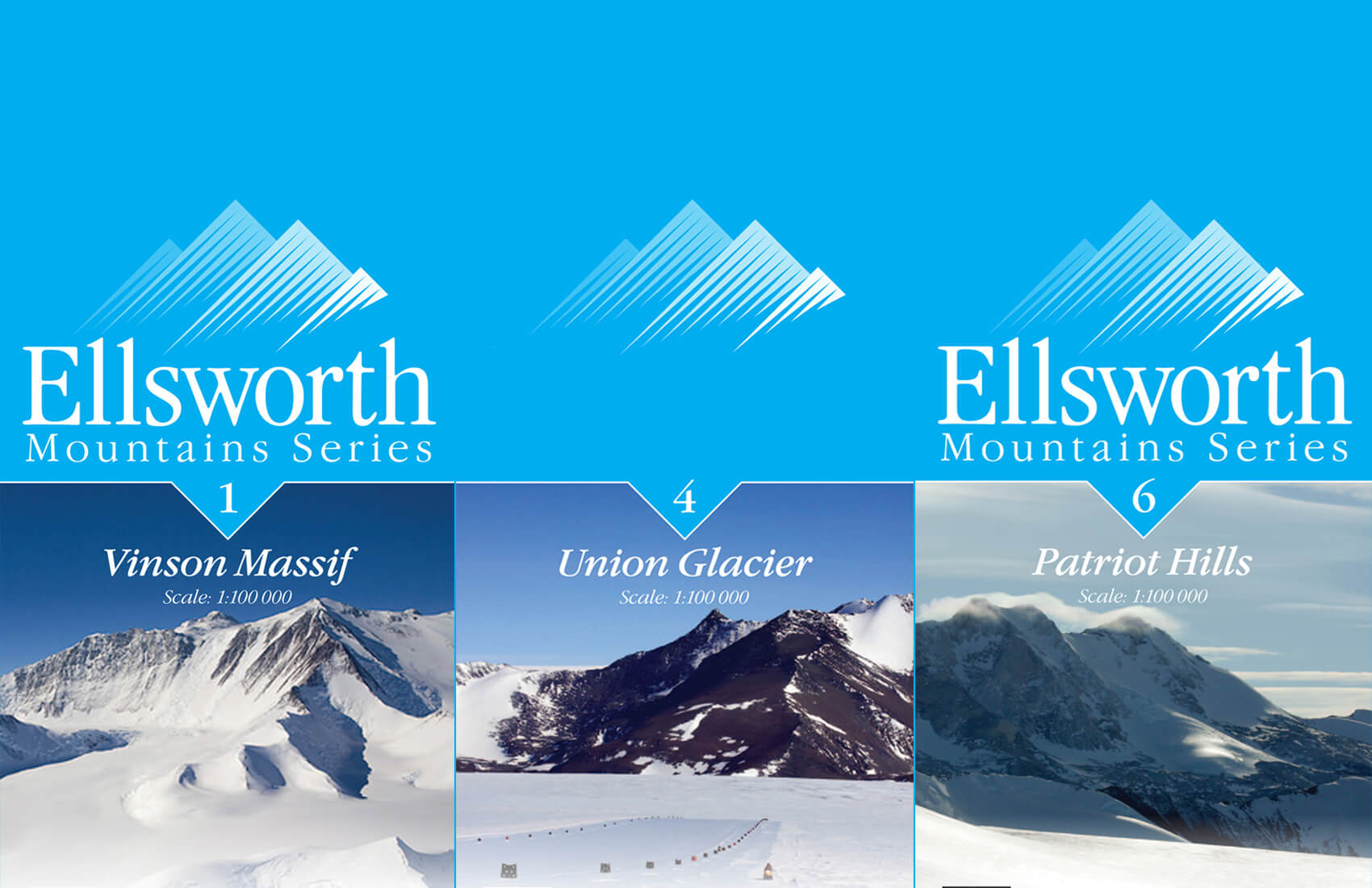
Attractive and easy to read graphic panels display the map title, location and legend. The title graphic includes the map name and number, overlaid on a photograph from the map area. The map series are distinguished by different color palettes: the 1:100 000 series uses Blue; the 1:35 000 maps are Burgundy; and the 1:1,500,000 is orange .
The Map Series Location shows the map’s relationship to other maps in the series, as well as its location within Antarctica. A scale bar gives nautical miles, statute miles and kilometers, and magnetic declination on publication date is given. The Legend clearly explains terrain features and markers for ALE’s GPS routes, campsites, shelters, runways, and weather stations.
Cartography and Data Sets
The map cartography is based on the Lambert Conformal Conic Projection and WGS84 horizontal projection. The maps have been compiled using a number of data sets and satellite images from a range of sources:
The Antarctic Digital database (ADD)
- The Antarctic Digital database has been compiled by the Scientific Committee on Antarctic Research (SCAR) from a whole range of medium scale topographic data for the continent of Antarctica, and aims to provide the best currently available data in all areas. www.add.scar.org
Landsat Image Mosaic of Antarctica
- The Landsat Image Mosaic of Antarctica (LIMA) is the most geometrically accurate mosaic of Antarctica and has the highest spatial resolution. You can view online or download the satellite image (192 Mb download) at http://lima.usgs.gov/access.php
USGS Topographic Reconnaissance Maps
- Download USGS topographic reconnaissance maps (e.g. Vinson Massif, Union Glacier, Liberty Hills, Mount Sidley, Mount Goodale, Liv Glacier, Mount Wistig) from http://usarc.usgs.gov/drg_dload.shtml (approx 20 Mb TIFF files).
Licensing/map-resources
The Ellsworth Mountain Map series is made available under the terms of the dataset copyrights. We thank SCAR for providing a license for use of the ADD. Contact us for further details.
Map Production
A number of people and organizations have been involved in the production of these maps:
Colin and Katharina at ERA www.era.gs
Roger at UnParalleled LLC www.unparalleled.biz
Victoria Litho Ltd www.victoria-litho.co.uk
Maps are printed on FSC Certified paper www.fsc-uk.org
* With apologies to Douglas Adams and the Hitchhiker’s Guide to the Galaxy


